How bridges get built · Site investigation and testing · Desk study and walkover survey
Also called: preliminary sources study, site reconnaissance
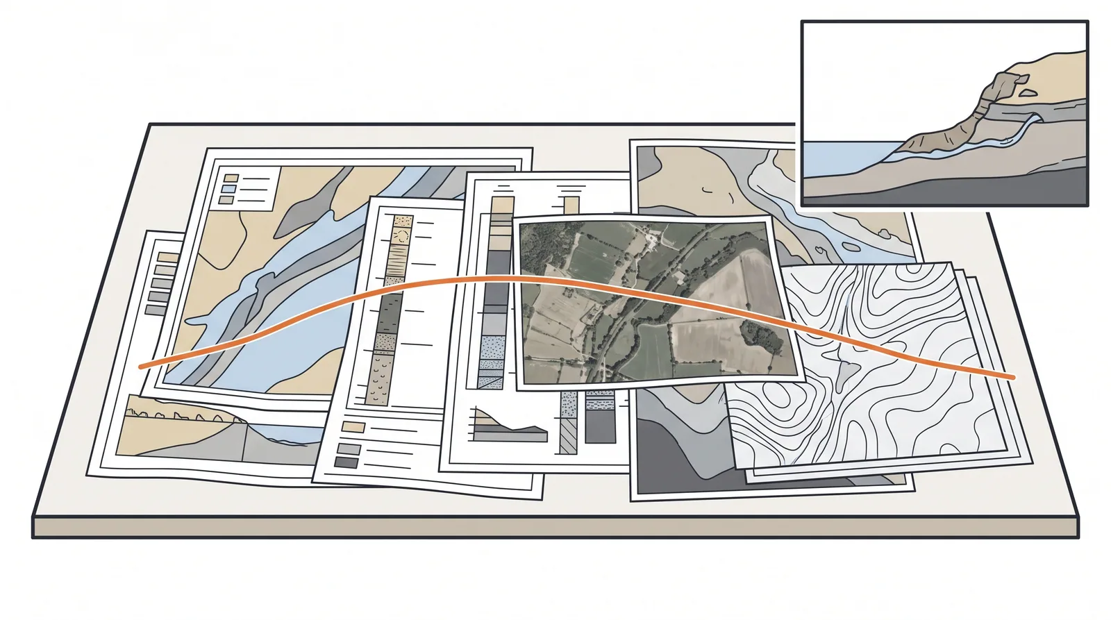
How it is done
- Collect geological and hydrogeological maps, previous ground investigations within a few hundred metres, and historic maps that show old channels, quarries, mines or filled ground.
- Check flood records, navigation charts, tide tables and scour history at existing bridges nearby.
- Walk the alignment: outcrops, springs, slope movements, buried services, access for rigs and barges, environmental constraints.
- Draft a conceptual ground model and a hazard register, then plan the intrusive investigation to test that model rather than to explore blindly.
Where it fits
- Every project, before a single borehole is priced.
- Sites with a history: old river channels, mining, reclaimed land, karst.
Where it does not
- Treating it as a formality. Most ground surprises on bridges were visible in the desk study.
Plant, pace and money
PlantAn engineer, archives, a vehicle and a day on site.
ProductivityOne to three weeks including archive requests.
CostWell under 1 % of the investigation budget; it decides the other 99 %.
Risks and controls
What goes wrong
- Old borehole logs use different standards and datums; convert before comparing.
- Filled ground and buried channels rarely show on modern maps.
Quality assurance
A ground model with stated uncertainties and a list of hazards each borehole is meant to close out.
Examples
Reclaimed coastal sites in the Gulf where sabkha and cemented crusts alternate within metres; alluvial rivers in Korea and Japan where the channel has moved several times in a century.
Related methods
Further reading
Eurocode 7 Part 2 (ground investigation and testing) · AASHTO LRFD Section 10.4 · BS 5930 site investigation code